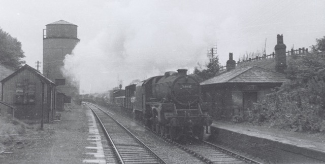
Daresbury Railway Station
Daresbury station served the Birkenhead, Lancashire and Cheshire Joint Railways. It opened on 18 December 1850 and was originally called Moore. But this caused confusion with our other station, so the name was changed to Daresbury by 1855.
The station...
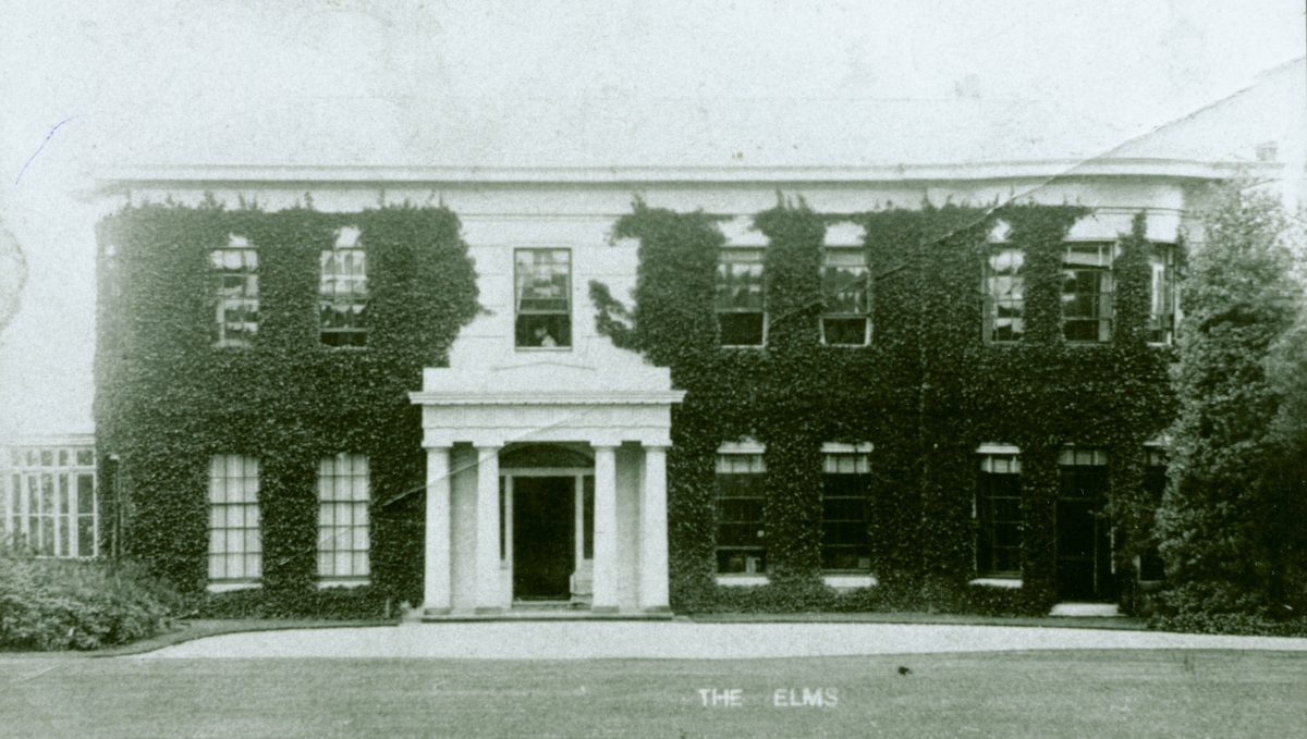
Gas at The Elms
The Elms
Coal gas was manufactured in this country between 1792 and the 1970’s, when it was replaced by natural gas. Some remote country houses that had no access to piped ‘town’ gas, had their own coal gas plant.
One such property was the E...
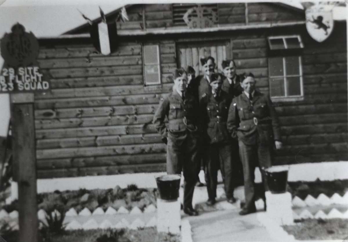
Moore Heavy Anti-Aircraft Battery
The camp on Moore Lane was established in November 1939 to provide protection for the mustard gas factory on Wigg island and local waterways during the Second World War.
There were barracks, a guardhouse/armoury, two pill boxes and four gun positions....
Moore Nature Reserve
The nature reserve was created in 1991, as a form of compensation to the local community for the disturbance caused by Arpley Landfill Site. The car park is just over the swing bridge at the bottom of Moore Lane. The reserve covers about 200 acres...
Moore Railway Station
The parish had three railway stations - Preston Brook, Moore and Daresbury. Confusingly, Daresbury station was in Moore too.
Moore station was opened on 4 July 1837. The station building was functional rather than pretty. There was a signal box and...
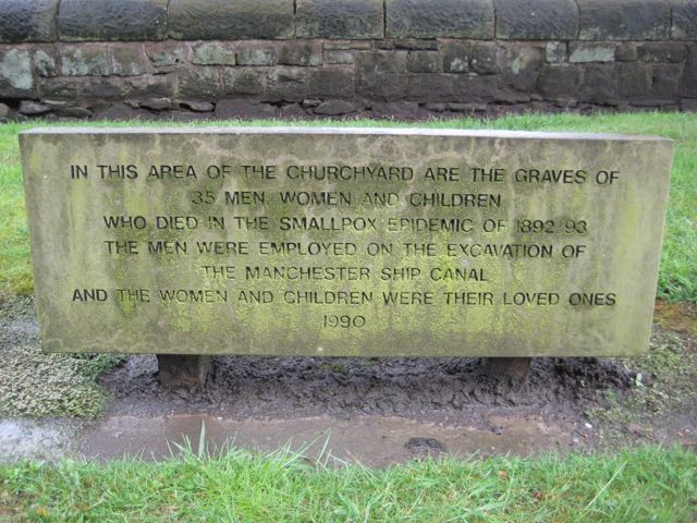
Runcorn Smallpox Hospital
In 1892/3 there was a smallpox epidemic amongst the ship canal workers. It was thought that the disease was introduced by a navvy from Leeds. Records give conflicting accounts of the numbers who were affected and the number of deaths, but there were...
The Beeches
The Beeches stood on the land where the houses of Beechmoore and Hollybank, Moore, stand today. It was built in the style of a baronial Scottish mansion.
The earliest record of the house tells us that William D Houghton and his family were living there...
The Coal Wharf at Moore
The black building in the right of the photograph is situated opposite the village shop in Moore. It was built around the mid nineteenth century. It was not marked on the tithe map of 1845, but is marked on the Ordnance Survey map of 1882. One side...
Wall Painting in a Cottage in Moore
This wall painting hangs above the fireplace of a cottage in Moore. We didn't know too much about it, but became interested in its simplicity and childlike quality. It appears to have two signatures - one is Brian Rudd, who touched it up in th...


